Why is St. Maarten divided?
Divided Because of Different Interests
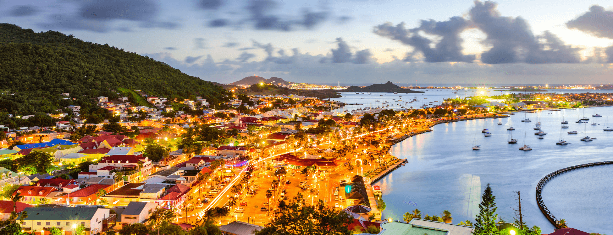
The island of St. Maarten / St. Martin is divided in a “Dutch” side” and “French” side because of historical economical, geographical and military history reasons. All three reasons originate from the interests and power structures of the French and Dutch colonial empires of the seventeenth century.
From an economical perspective, the Dutch landed on St. Maarten first and foremost because of the large salt deposits in the Great Salt pond around Philipsburg. Salt in those times was next to a valuable export commodity a way to preserve food on transatlantic voyages. The French aimed at establishing an agricultural plantation economy, though salt harvesting also occurred.
Geographically, neighboring St. Eustatius (Statia) was a core Caribbean port of importance for the Dutch. Various sources state that Dutch interest in the southern side of the island also derived from the fact that it faces this island. It is also said the French in turn wanted to keep an eye on neighboring Anguilla in the north, though that would become a British colony in 1650.
Sources claim the Dutch West Indian fleet made its way into Great Bay to ensure a treaty was signed between the Dutch republic and France.
These days it might seem odd that France as one of the largest European countries shared a border with the thirteen times smaller Dutch nation, harboring only a quarter of the French population size. It needs to be noted however that at the point the island was divided in 1648 the United Provinces of the Netherlands experienced a time of naval hegemony. Military threats or not, it was also in the interest of both nations occupying St. Maarten / St. Martin to cooperate and not stand divided in their mutual regional competition with the Spanish.
Treaty Of Concordia Setting the Island Division in Stone For Centuries
In 1648 the Westphalian towns of Münster and Osnabrück served as stage for an important European peace treaty between various nations. Next to the Netherlands, its arch enemy Spain and France were part of the years long negotiations leading to what became known as the “Peace of Westphalia”. This new European order amongst the great powers allowed fertile soil for enduring peaceful coexistence between the French and Dutch side of the island of St. Maarten / St. Martin, solidified in the Treaty of Concordia of March 23d that same year. French governor de Lonvilliers and Dutch governor Thomas ceremonially signed the treaty at Concordia Hill from which the agreement derives its name. In spite of its intentions, the border would change 16 times more because of conflicts between Dutch, French and British colonial powers. It would however always be restored to the division of 1648.
In 1817 and 1839 the treaty of Concordia was reinforced and worked out further. The border led to a far later abolition of slavery on the southern (Dutch) side in 1863, the French already having done so in 1848.
In 1948 the Border Monument was erected between Cole Bay and Marigot to remember 300 years of the treaty of Concordia. By now, the Dutch republic at the time of the division in 1648 had over time become a constitutional monarchy, while the French kingdom reversely had become a republic.
A Border of Contradictions
Despite these early agreements, the final settlement of the border was only finalized on May 27th 2023. Remaining unclarities and border disputes were settled in a “quadripartite” treaty as by now St. Maarten had become an autonomous country within the Kingdom of the Netherlands and French side St. Martin had obtained overseas community (COM) status of France. This meant the four entities St. Maarten, St. Martin, the Netherlands and France were all cosignatories of this treaty.
Even though the initial treaty has led to open borders ever since 1648 well before the European Union was founded, it also forms the border of that same Union. Whereas the northern part of the island is part of the EU, the southern side is not. It underlines the fact that the French side is part of France, but the autonomous Dutch side has its own government. It can hence be said the border divides the Kingdom of the Netherlands and France, not that France borders the (European) Netherlands on island.
Binational Unity
Though the border set by the former colonial powers has led to at points different development and cultural celebrations (the Dutch side for example celebrates carnival in April, the French side in February), the sides have more in common than what divides them. English is the mother tongue of both nations. Families are spread over both nations and many have dual citizenship. The tourism centered economy is mutually reinforcing and complementary. The flag of autonomous St. Maarten depicts the Border Monument as a symbol of island unity, so does does the unified St. Maarten / St. Martin flag. Unification of the two sides has been uttered by politicians on various occasions, but no concrete steps have been taken.
More blogs on Things to Do / Culture & Arts
Back to the Visit St Maarten Main page
Back to the Visit St Maarten Blog Main page